
Washington Township Neighbor Records
Washington Township neighbors are best understood as a bounded parcel question. The Parcel Viewer can identify land near a starting address, and the Auditor or Treasurer can provide the property record behind each selected parcel. A Recorder declaration or plat can explain a subdivision or condominium boundary. Dublin’s public civic tools offer an association contact path. These sources describe different things. They do not combine into a list of every person who lives on the block.
| Source | What It Shows About a Block | Access |
|---|---|---|
| Franklin County Parcel Viewer | Parcels inside or intersecting a selected buffer, roads, and map layers | Free GIS; confirm a result in the property record. |
| Auditor or Treasurer property record | Owner, parcel, situs, tax district, and property context | Official county records, not a list of occupants or household members. |
| Recorder declarations and plats | Subdivision, condominium governance, legal description, and recorded land documents | Cloud Search, archival route, counter, or certified-copy request; documents do not promise a membership list. |
| Dublin civic resources | Neighborhood Explorer, leader contact, association support, and meeting pathways | Public engagement route, not a public member directory. |
| Board of Elections | Individual voter-registration or defined records-request channel | No street browsing; ORC 3503.13 exclusions and protected records apply. |
Property records can name an owner, trust, estate, or company. A tax mailing address is where the custodian sends correspondence. Neither a parcel owner nor a mailing field proves who occupies the property. That distinction is central when looking for Washington Township neighbors near one address.
Washington Township Neighbors Parcel Limits
After a map result is selected, use the Auditor detail or the Franklin County Treasurer Property Search to check the parcel record. The Treasurer accepts a name, street address, or parcel ID and supplies tax-side context such as payments, rates, assessments, and tax district. Parcel details can also show owner-occupancy credit or homestead reduction lines. Those are property-tax facts, not a way to identify everyone at a home.
The screenshot below is linked to the Franklin County Treasurer property search.
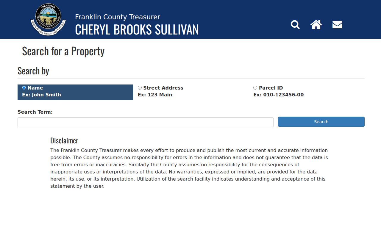
Use the result to confirm the selected parcel and tax district before reading a deed, plat, or recorded declaration. The current Auditor site also carries an upgrade notice, so a missing web result should be checked through the Viewer, Treasurer, Recorder, or Auditor office instead of being treated as a negative fact.
- Situs address
- The physical address assigned to the land or building.
- Mailing address
- The correspondence address held for the owner or tax recipient. It can be different from the situs.
- Legal description
- The recorded lot, block, subdivision, or other land description that bridges parcel and Recorder records.
- Parcel ID
- The county identifier for a particular piece of land, used to match map and property records.
Washington Township and Dublin Lines
Nearby parcels can be under different local jurisdiction even when they share a Dublin mailing city. Washington Township’s zoning guidance says parcel prefixes 270, 271, and 272 generally identify unincorporated Township land. Prefixes 273, 274, and 275 can fall in both Washington Township and the City of Dublin, where Dublin rules apply if the parcel is within the city limits. That unusual prefix split is worth checking before a zoning, permit, or civic-contact request is sent.
The Parcel Viewer’s administrative-area, annexation, school-district, tax-district, and road-centerline layers provide useful context. The parcel detail remains the safer starting point. A recent county annexation approved in February 2025 moved about 104.5 acres from Washington Township to Dublin, so historical township wording may survive after a local label changes.
For a building or inspection question on unincorporated land, Washington Township directs users to the Franklin County Building Department. For a city-held item, Dublin’s JustFOIA route applies. Neither access route is a searchable neighbor directory.
Voter Records Are Not Block Lists
Ohio’s My Voter Information tool is designed to confirm one registration with first name, last name, and county. It may narrow an individual match by street, but the research found no public all-voters-on-a-street screen. The Franklin County Board of Elections is the proper custodian for a narrowly described election record request, and it must apply ORC 3503.13 exclusions. Do not turn individual results or a public-record request into a Washington Township neighbor roster.
Full or partial Social Security numbers, driver-license and state-ID numbers, telephone numbers, email, confidential registration, protected public-service-worker addresses, proof of citizenship, and other protected information are excluded from voter disclosure. A returned polling place is an administrative fact. It does not establish a household relationship, party affiliation, length of residence, or voting choices.
Buffering a Washington Township Block
The Auditor’s Parcel Viewer provides the documented adjacent-parcel method. Start with the target parcel, not a person’s name. Its tools support a search by value or drawn shape, an identify click, layer selection, and a spatial buffer. A spatial result is only as clear as the geographic rule used. Record whether it selected parcels completely within the buffer or parcels intersecting it, because an irregular lot, road, right-of-way, or condominium parcel can change the result.
- Find the target parcel with an address, parcel ID, or the Viewer’s identify tool, and save the parcel ID.
- Use By Spatial after finding the parcel, enter a distance, and apply the buffer.
- Select parcels completely inside or intersecting the buffer, then review the result list or export the bounded rows to CSV.
- Open each selected parcel through the property-search link and record its situs, legal description, owner field, and any separate mailing field.
For a full named-street chain rather than the immediate block, use the address method on the Washington Township street directory. A buffer is a reproducible map choice, not a claim that it captures every doorstep a person might call a neighbor.
Note: Parcel Viewer layers include roads, parcel labels, and administrative areas, which help interpret a result but do not replace authoritative parcel detail.
Washington Township Civic Contact Paths
The City of Dublin Neighborhood Resources page is the documented community layer for much of the Township/Dublin area. It describes voluntary civic associations, homeowners associations, condominium unit-owner associations, Neighborhood Explorer, a neighborhood-leader contact form, association meeting support, and Resilient Neighborhoods meetings. These are ways to reach a public organization or leader when available. They are not evidence that a given household belongs to an association.
The following image comes from Dublin’s neighborhood-resources page.
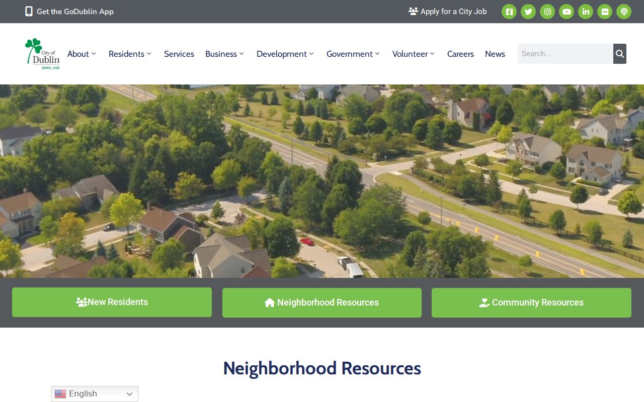
Use the city route for a contact or engagement question after confirming the parcel’s jurisdiction and subdivision. The official material does not promise a public household or member directory.
| Community Layer | Verified Public Path | What It Does Not Provide |
|---|---|---|
| Voluntary civic association | Neighborhood Explorer or public leader-contact process | A verified list of all residents in the area. |
| Homeowners association | Association-support route plus recorded declaration or bylaws | A public list of members, renters, or email contacts. |
| Condominium association | Recorded unit-owner declaration and city civic pathway | A promise that every unit’s occupant is publicly identified. |
| Resilient Neighborhoods | City-supported police-community meeting route | A public block-watch roster. |
Washington Township Recorded Declarations
A recorded declaration can clarify the legal shape of a subdivision or condominium. Start with the parcel’s legal description or subdivision name, then search the Franklin County Recorder Cloud Search by party, document date, document number, or legal-description fields. The Recorder’s advanced search also has grantor, grantee, book, volume, page, subdivision legal, and freeform legal options. Plats and declarations are documents about land and governance, not membership records.
If the web search does not yield the document, the Recorder has a counter and certified-copy request route. For older work, its archival deed-index category is the documented path for 1804 through 1913, separate from the modern deed index. The right result can explain lot boundaries and governing documents without making a claim about who occupies an adjacent property.
Official Neighbor Tools Compared
Official property systems and commercial neighbor-lookup categories answer different questions. The former identify public parcel and recorded-document facts with an agency custodian behind them. The latter may combine data from changing sources, but do not replace a parcel, deed, court, or election record. For a Washington Township block question, start with the official record and verify any important detail with the office that holds it.
| Official Record Path | Commercial Lookup Category | Practical Difference |
|---|---|---|
| Parcel Viewer, Auditor, Treasurer, Recorder, or Board of Elections | Compiled people or neighborhood profiles | Official sources identify the custodian, fields, and access limits; compiled profiles can be stale or merge similar names. |
| Parcel ID, legal description, case number, or instrument number | Name or address match without a public record key | A record key can be checked at the source; a broad match needs independent confirmation. |
| Specific records request under ORC 149.43 | General search result | A custodian can review exemptions and redactions; a general result does not settle a conflict. |
The distinction matters most when a map result looks certain but the property detail says something different. The official parcel, document, and date should control the next step.
Washington Township Safety Records
Public-safety records have their own narrow scope. The Franklin County Sheriff Inmate Information page covers current inmates, current charges, current case numbers, visitation location, and court dates. It is not a current-address source and not a way to determine who lives near a parcel. Bond information belongs with the Clerk of Courts, and an absence from the roster is not a conclusion about a person.
The following source image is from the Sheriff’s inmate-information page.
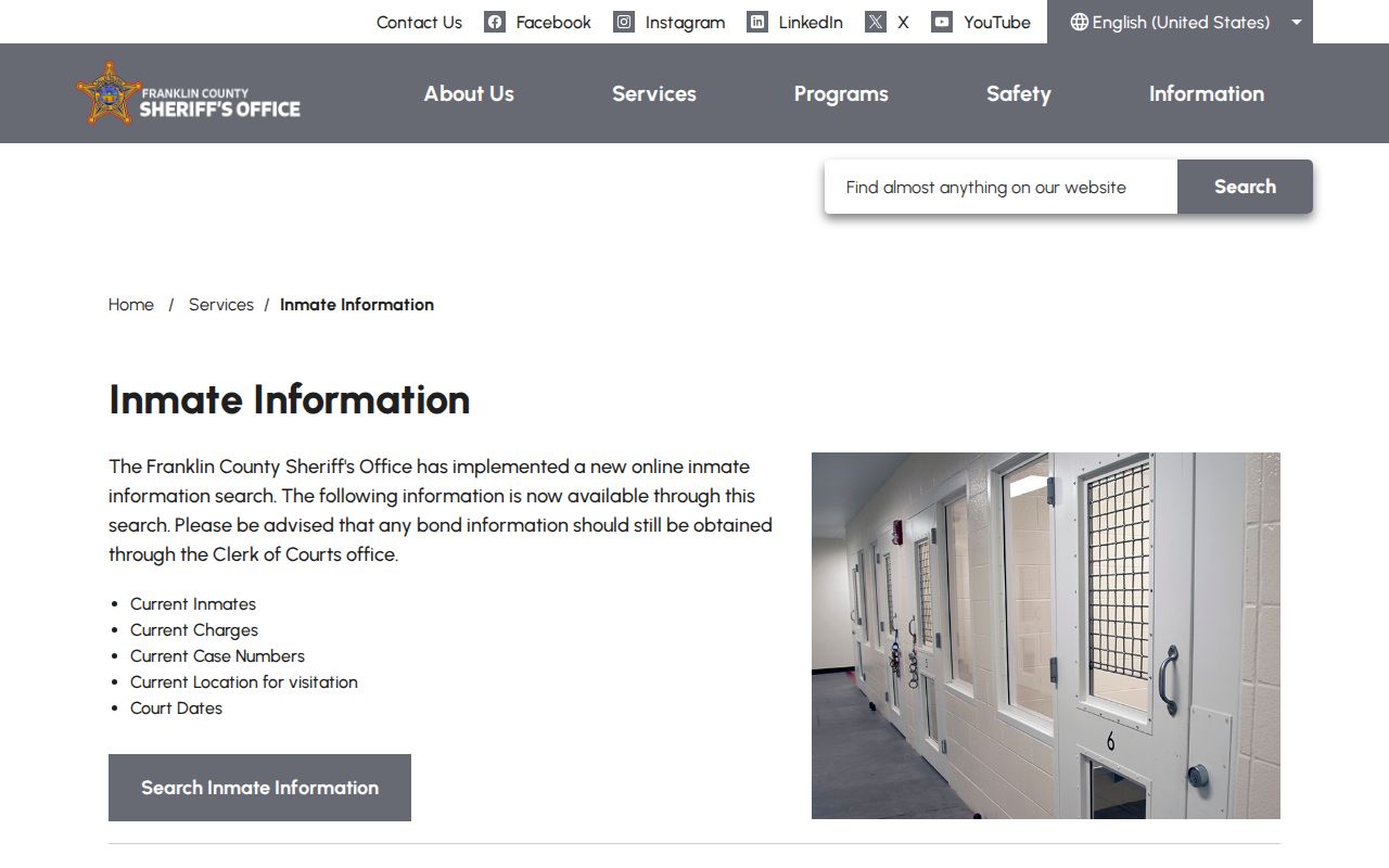
For an immediate threat, contact emergency services. For a non-emergency concern, use the appropriate local police or Sheriff channel and preserve relevant communications rather than confronting someone with directory data.
Washington Township Neighbor Privacy
Privacy boundaries do not disappear because a parcel is close to another parcel. Renters, household members, utility customers, delivery records, DMV data, and association membership lists are not supplied by the property roll. Ohio Safe at Home participants can use a substitute address, and their identifying information is excluded from public records under ORC 111.41 through 111.47. Voter records also have the statutory exclusions described in ORC 3503.13. A protected or absent field should not be inferred from a nearby map point.
ORC 149.45 gives an individual a written internet-redaction path for listed personal and financial information in public online records. A custodian may also redact exempt material from a requested record and must identify the legal authority for the denial or redaction. Those rules do not make every older deed private, but they do set important limits on what may appear online.
Lawful use. Use nearby-parcel and civic records for personal, lawful research, property curiosity, community contact, or safety awareness. Never use the information to watch, stalk, harass, intimidate, or harm another person.
Washington Township Property Alerts
For a property owner watching recorded activity, the Recorder’s Property Alert is a current local safeguard. It allows profiles for personal or business-name variations and sends an email when a matching document is recorded. The Recorder says alerts are free, searches run nightly, and notices should arrive within 24 hours of filing. Its guidance also recommends using the Auditor’s separate property e-alert because the two systems monitor different records.
That service watches future recorded documents. It does not identify Washington Township neighbors, establish title, or replace a direct check of the parcel and instrument when an alert arrives.
Note: Save the instrument number and recording date from an alert, then verify the document with the Recorder before making any property decision.