
Washington Township ZIP Coverage
Six postal intersections surfaced for the Washington Township geography: 43002, 43016, 43017, 43026, 43064, and 43065. They are mailing and GIS verification leads, not a precise township boundary. The Township’s main office uses 43016, while Stations 93 and 95 use 43016 and 43017, confirming the core Dublin postal zones. Its wider footprint reaches Franklin, Delaware, and Union counties, so each address must still be tested in the USPS tool and the county parcel map.
| ZIP | Areas Covered | Post Office | Notes |
|---|---|---|---|
| 43002 | Amlin area in the southwest part of the Township’s Franklin County geography | Amlin | Confirm delivery versus PO-box status with USPS before relying on the label. |
| 43016 | Township administration, west and northwest Dublin, and unincorporated Township addresses | Dublin | Core Township ZIP; verify whether the parcel is in Franklin, Delaware, or Union County. |
| 43017 | Township Stations 93 and 95 plus historic and core Dublin addresses | Dublin | Core Township ZIP; it does not itself establish Franklin County. |
| 43026 | Hilliard-side and northwest Franklin County boundary-intersection addresses | Hilliard | [RESEARCH GAP: exact in-Township delivery extent needs address-by-address USPS and GIS verification.] |
| 43064 | Plain City-side outer multi-county Township intersection | Plain City | [RESEARCH GAP: confirm a precise address is in the Township; do not treat it as a Franklin County ZIP wholesale.] |
| 43065 | Powell-side outer multi-county Township intersection | Powell | [RESEARCH GAP: verify the exact Township and county extent through GIS and USPS.] |
Use the USPS City/State ZIP Lookup for the current postal label and the parcel system for jurisdiction. Postal data change, and neither a ZIP nor a mailing city tells you who holds a particular property or court record.
Washington Township ZIP Intersections
Washington Township’s 27.5-square-mile area includes all of Dublin and spans northwest Franklin, southwest Delaware, and east Union counties. That local shape explains why a Dublin label or a ZIP code cannot select a Recorder, court, or Auditor by itself. The Franklin County portion is the focus here. A parcel can move the search into a different county even though the township history remains relevant to the address.
The Township zoning FAQ supplies a useful local check after a parcel is found. Parcel numbers beginning 270, 271, or 272 generally indicate unincorporated Washington Township for zoning. Prefixes 273, 274, or 275 can lie in both the Township and the City of Dublin, where Dublin rules apply. This local records quirk is not a substitute for opening the parcel detail and reviewing the tax district.
Washington Township Postal Checks
The official roles are distinct. USPS answers the current postal question. The Franklin County Auditor Parcel Viewer supplies parcels, administrative areas, city or village, tax and school districts, and a ZIP-boundary layer. Its documentation supports a parcel search, map browsing, layer selection, spatial buffers, downloads, and a link to property detail. The ZIP layer is a visual verification tool, not a documented all-owner or all-resident ZIP query.
The Auditor’s Real Estate page currently warns that the ongoing upgrade can produce incomplete or missing online search results. If a screen fails, use the Parcel Viewer, county counter, Treasurer, or Recorder as appropriate. The portal warning is an operational caveat, not evidence that the parcel does not exist.
The Auditor’s Real Estate overview directs address researchers toward the county property systems.
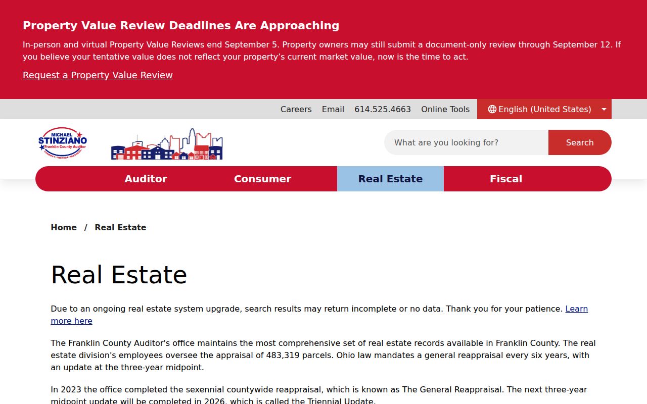
A parcel result provides a better bridge to an ownership or deed question than a postal label alone.
Note: Preserve the ZIP, parcel ID, tax district, and date checked when a local boundary is part of the research question.
Washington Township ZIP Search Limits
No reviewed official Franklin County portal offered a verified ZIP-input field for an all-resident or all-property search. The Auditor’s standard Address mode does not expose a ZIP field. Its advanced form has dynamic criteria, but the inspected interface did not reveal a ZIP option in text. Parcel Viewer documents a ZIP-boundary layer, not a ZIP-wide owner or property query. That limit should shape the search: ZIP is a final address check and a map layer, not a list-building key.
[RESEARCH GAP: no official Franklin County portal with a verified ZIP-input field was located. The Auditor advanced-search interface was inspected but its dynamic criteria menu did not expose ZIP in text, and Parcel Viewer documents a ZIP-boundary layer rather than a ZIP-wide resident/property query.]
Ohio’s statewide voter lookup is also not a ZIP directory. It requires first name, last name, and county, then may ask the user to narrow by street after a match. Franklin County voter records have statutory redactions under ORC 3503.13. A ZIP does not turn that individual confirmation tool into a neighborhood roster.
Note: A returned ZIP verifies mail routing, not whether a county records portal can search a whole postal area.
Finding Washington Township Records by ZIP
Use the ZIP code directory to narrow the postal question, then switch to the address and parcel records that the county actually indexes. This avoids a false promise that a ZIP search can identify everyone who receives mail in a postal zone. Once an address is narrowed to a street, the Washington Township street directory is the appropriate route for the fuller address-based record trail.
- Verify the mailing-city and ZIP combination in the USPS City/State ZIP Lookup.
- Locate the address in the Franklin County Parcel Viewer and read the parcel, administrative area, city or village, and tax-district context.
- Use the Auditor’s property search by address, owner, or parcel ID. In Address mode, enter the street name without a suffix such as Road or Avenue.
- Check the parcel prefix and jurisdiction before deciding whether Franklin County is the right county custodian.
- For a land-record question, carry the parcel’s legal description or document details to the Recorder instead of searching only by ZIP.
That workflow can establish a property record trail. It cannot establish every current person at an address, because owner mailing information and a situs address serve different purposes.
Washington Township Parcel Search Fields
The Auditor property system documents the fields below. None is a verified ZIP code field, which is why the ZIP check belongs before or beside the parcel search rather than inside it. One criterion is required for the normal search modes, and broad results may need to be narrowed.
| Field | Type | Required | Format or limit |
|---|---|---|---|
| Owner Name | Text | One criterion | Use LastName FirstName or a partial name; omit apostrophes; an asterisk wildcard is supported. |
| Street No., Direction, Street Name, Unit | Text and dropdown | One criterion | Enter the street name without a suffix. Direction and unit can narrow a result. |
| Parcel ID | Text | One criterion | All or part of the number, without dashes; wildcards are accepted. |
| Subdivision and Condo | Separate search mode | No | Use the dedicated tab or mode. |
| Advanced criteria | Dropdown and date controls | At least one criterion | Dynamic options were not exposed in the inspected interface; do not assume ZIP is available. |
| Map and intersection | Map or spatial mode | No | Separate tools; address results can return up to 500 when an exact match is absent. |
For a range question, the Auditor instructions say to call 614-525-4663. That is the documented fallback for address-range help, while a ZIP remains a coarse postal filter.
Washington Township ZIP Boundaries
ZIP boundaries and city limits answer different questions. The former organize mail delivery. The latter identify municipal jurisdiction. Washington Township adds a third layer because it is township government that includes all of Dublin and spans three counties. A historic directory, permit, zoning file, or tax entry may therefore describe the same place differently at different times.
- ZIP versus ZIP+4
- A five-digit ZIP identifies a postal delivery area; ZIP+4 adds a more specific delivery segment. Neither determines a county or township boundary.
- PO-box ZIP
- A ZIP used for post-office box addressing. Confirm its delivery role with USPS before treating it as a physical-address area.
- Unique ZIP
- A ZIP assigned to one organization or address arrangement. No Washington Township-specific unique ZIP was verified in the research.
- Carrier route
- A postal delivery grouping used to organize a route. It is not a property ownership, city-limit, or resident record.
The Washington Township address geography supports a parcel-first decision: situs address for the physical parcel, mailing address for tax correspondence, and legal description for the recorded land bridge. A mailing address can differ from the situs and is not proof of residence.
Washington Township Annexation Labels
On February 4, 2025, Franklin County Resolution 0088-25 approved annexation of approximately 104.5 acres from Washington Township to the City of Dublin. The recent change is a records-geography warning. An older tax, permit, zoning, or historical reference may retain a Township description after a current address is described as Dublin. Search both labels, then carry the parcel number and legal description across the date change.
The annexation resolution is the official record of that dated change. It does not redefine every Township postal boundary. USPS and GIS must still be checked for a particular address.
Note: A 2025 annexation changes local labeling, while the parcel history preserves the record trail across the change.
Washington Township ZIP Address Keys
Historical work begins where a ZIP code stops being enough. CML’s Columbus City Directories begin in 1841, and their house-by-street-address section begins in 1911. They can support address-to-occupant research only when the annual volume includes the location. Historic atlases, Sanborn maps, and the Recorder’s legal-description path can help compare an older road or lot with today’s parcel.
For a current property question, the Auditor connects the situs, owner, parcel, valuation, sales history, and map context. The Franklin County Recorder then supplies the recorded instrument trail. For the 1804-1913 period, the Recorder uses a separate archival deed-index process. These systems answer different questions, and a ZIP code directory should hand off to them rather than try to replace them.
The USPS ZIP Code Lookup is the documented postal verification channel for a Washington Township address.
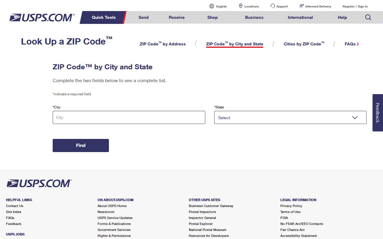
Keep the USPS result with the parcel details and the date checked. That combination makes the postal and county record paths easier to reconcile later.